


LIST OF INSTRUMENTS:
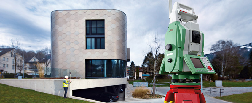
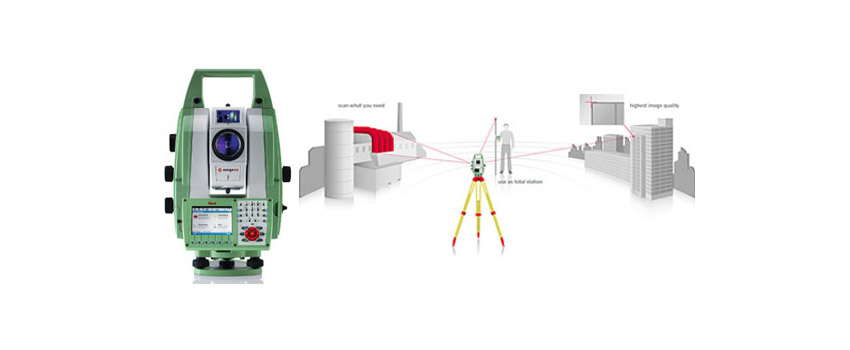
Leica MS50 MultiStation with integrated 3D laser scanner
Slam Scanner 3D Lidar Zeb Horizon GEOSLAM
Topcon motorized total station mod. QS-1ATopcon Total Station Mod. OS-101
Slam Scanner 3D Lidar Zeb Horizon GEOSLAM
Topcon motorized total station mod. QS-1ATopcon Total Station Mod. OS-101
No.3 Topcon Total Stations Mod. 7501
Faro Focus 3D Laser scanner
No.4 Topcon Dual frequency GPS receivers (with integrated GPS + Glonas and RTK/GGD module) and post processing, capable of using “base to rover” communications.
No.2 Topcon AT-B2 Autolevels with external optical micrometer
Topcon AT-G2 Autolevel
Topcon DL101 electronic autolevel
Rollei camera 6006
No.4 Leica Disto units
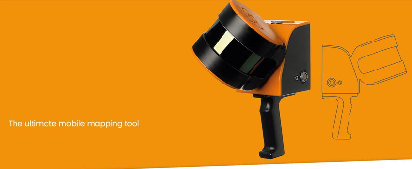
Mobil Mapping System - with capability to use Topcon, Riegl and Trimble
LIST OF SOFTWARE
LEICA CYCLONE MODEL: 3D modelling and piping - Licenses: no. 1
GEOSLAM HUB - Licenses: no. 1
GEOSLAM DRAW : Licenses: no. 1
GEOSLAM HUB - Licenses: no. 1
GEOSLAM DRAW : Licenses: no. 1
REAL WORKS: 3D modelling and piping - Licenses: no.2
LEICA INFINITY: MS50 data download
LEICA MULTIWORX: ACAD application for the management of three-dimensional data
CLOUD COMPARE: software for point cloud processing MESH LAB: software for processing 3D meshes
CIVIL DESIGN: application for road design - Licenses: no.2 NAMIRIAL SICUREZZA CANTIERI: drafting of building site safety plans - Licenses: no.2 MERIDIANA 2016: topography, cadastre, longitudinal profiles and cross sections - Licenses: no.6 MERIDIANA CE: instrument data recording (total stations and GPS devices) - Licenses: no.4 MERCURIO 2011: recording and management of data from instruments and handheld devices - Licenses: no.8 ROLLEIMETRIC MSR VER. 3.0: terrestrial photogrammetry - Licenses: no. 1 STARFORM: program for converting coordinate systems - Licenses: no.1 ACCA NEXT GENERATION: construction site accounting - Licenses: no.2 ALL-PLAN: building design - Licenses: no.4 CINEMA 4D: building design - Licenses: no. 1 FIELD FACE: recording and processing of data received from GPS - Licenses: no. 1 GPS POLAR: conversion of surveys composed of a list of GPS and/or Cartesian coordinates into surveys composed of a list of base station-referenced polar coordinates - Licenses: no. 1 PINNACLE: program for management and processing of surveys performed with GPS system - Licenses: no. 1 AUTOCAD LT: graphic design program - Licenses: no. 2 SIMPAC: company accounting management program - Licenses: no. 1
VERTO: program for the management and conversion of coordinates - Licenses: no. 1