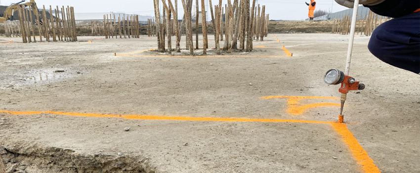
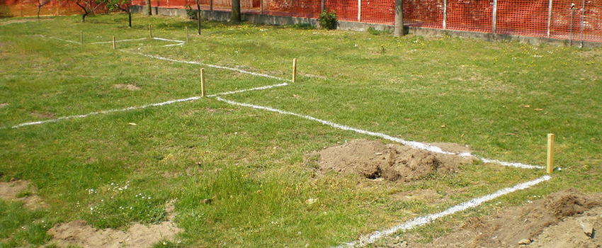
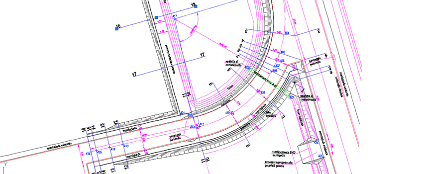
The staking operation is configured as the inverse of surveying: starting from the project, it materialises a series of points on the ground and uses them to maintain the correspondence between the executive drawings and on-site construction.
There are two types of staking: point and line. The points or ends of the line to be staked out can be selected, both graphically and by selection, from a list of stored points. During construction staking, various types of indications can be followed: graphical, numerical, using arrows that indicate the direction of rotation or the direction of movement to reach the point being staked out. In the case of construction staking by line, the distances of the measured point from the line and the distance from the beginning and the end of the line are always shown.


