


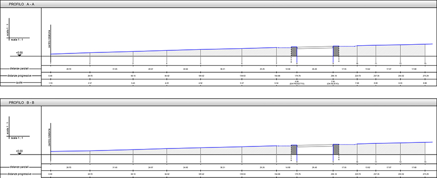
For correct construction, special works require complex marking. Works with strict constraints — due to the high precision requirements — need specific methods, operating schemes and experience in order to obtain marks with the particularly high precision typical of prefabricated structures having elements that must be laid with minimal margins of error.
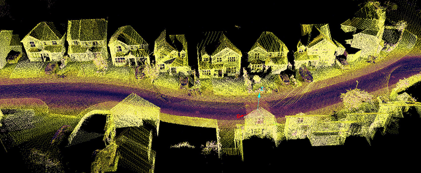
Surveys carried out through GPS make it possible to render the points detected through a system of coordinates that uniquely define the plano-altimetric positions. Through the use of dedicated software, it is possible to obtain three-dimensional models — in the form of meshes — from which dimensional data can be drawn and specific surfaces and volumes calculated.
Marking consists in a series of operating and calculation procedures aimed at materializing the points and aligning the project’s basic geometric elements so as to ensure correct implementation of the project during construction.
Through a series of measurements, such surveys make it possible to obtain spatial coordinates for a series of points that define 3D dimensioned plans, sections, volumes, surfaces.